Oil Spill Sensitivity Mapping
Sensitivity mapping aids situational awareness and response strategy development for responders and decision makers during an incident, making it a vital tool in oil spill preparedness and response.
Oil spill sensitivity maps should be considered as a support tool to develop the oil spill response strategy, and as an operational tool which complements the oil spill contingency plan. As such, it is beneficial if maps are developed during the contingency planning process.
Oil spill sensitivity maps (including the mapping of coastal sub-tidal habitats) can also support the development of a dispersant use policy by providing information on the potential impact of dispersed oil in the water column.
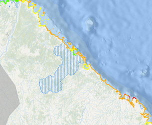
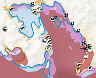
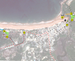
The sensitivity maps provide a comprehensive overview of the coastline and the sensitive resources at risk in the event of an oil spill.
Benefits:
Oil Spill Response Limited (OSRL) is at the forefront of industry good practice, having significantly contributed to several International Petroleum Industry Environmental Conservation Association (IPIECA) Good Practice Guides. We closely follow the guidelines for IPIECA’s ‘Sensitivity Mapping for Oil Spill Response’ 2012 where applicable; and can tailor the project to any client specific guidelines. Environmental sensitivity mapping brings together environmental, socio-economic and operational data into a simple, focused and user-friendly tool.
Planning:
- Combines the Oil Spill Contingency Plan (OSCP), Environmental Impact Assessment (EIA) and oil spill modelling outputs in one clear visualisation
- Identifies the habitats, species and resources most at risk from an oil spill
- Aids the development of protection plans and identification of the most appropriate response strategies
Response:
- Enables response techniques to be prioritised to protect the most vulnerable/important areas
- Assists Incident Commanders/Planners to decide which strategy will be the most efficient for different locations
Features:
- Completed by OSRL’s dedicated Geomatics team who also produce preparedness and response oil spill modelling and are available 24/7 for incidents
- Can be developed in conjunction with your OSCP or Tactical Response Plan (TRP), by working closely with our consultancy and operational teams
- Value added products such as dispersant exclusion zones can be developed, in conjunction with our dispersant experts
- Can feed directly into your Common Operating Picture (COP), or web mapping service
- We work with Esri’s ArcGIS platform, but can assist with alternative platforms and deliverable formats, particularly useful for clients without geomatics expertise
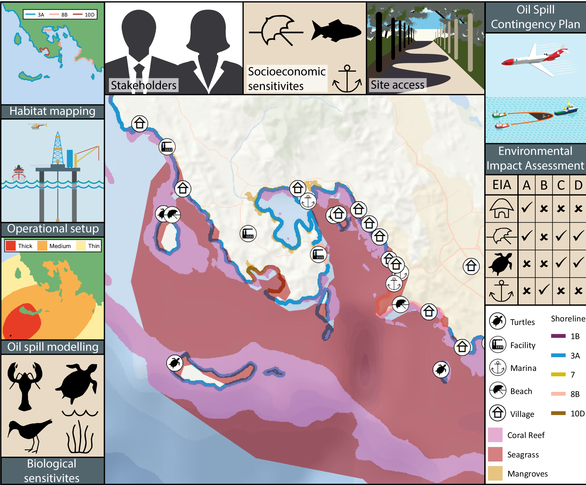
Map Development:
OSRL produces sensitivity maps appropriate for each user’s needs. Maps are designed according to the level of detail required, the type of response and the user’s role within the response structure.
OSRL gathers data from a variety of sources:
- International Biodiversity Assessment Tool (IBAT)
- This contains an authoritative source of key biodiversity areas, protected areas and breeding sites.
- If you are a member of IBAT, then this access is free. Otherwise, OSRL can purchase the required data on your behalf, using our ‘pay-as-you-go’ agreement
- Satellite Imagery
- OSRL can use freely available satellite imagery for manual identification and classification of features such as shoreline type and human use areas (amenity beaches, harbours, etc.).
- Open Street Map
- A freely available source of data for logistical features such as roads, waterways, medical facilities, etc.
- Client data
- Client provided data (such as local facilities) can also be incorporated.