


Knowledge Hub - Oil Spill Response Resources
Oil Spill Response Resources and Knowledge
Nearly four decades of first-hand experience in responding to oil spill incidents of varying nature and locality, has allowed us to create a hub of knowledge available to share with you.
From case studies with our Members to industry insights and operational field guides spanning response and crisis management to dispersants and contingency planning, plus everything else in between, all resources are freely available to view or download.

Areas of Expertise
-
Response
Find incident case studies, field guides of different response techniques and much more
-
Subsea
Find presentations, videos and technical information sheets for all aspects of subsea response.
-
Equipment
Find case studies, recorded seminars and articles on oil spill response equipment.
-
Surveillance
From Unmanned Aerial Vehicles and aerial surveillance to Autonomous Underwater Vehicles.
-
Exercises
Our exercise resources cover a range of topics including what makes a good exercise.
-
Contingency Planning
Discover what makes good oil spill contingency planning through case studies and articles.
-
Capability Reviews
Find case studies and recorded seminars offering practical guidance and much more.
-
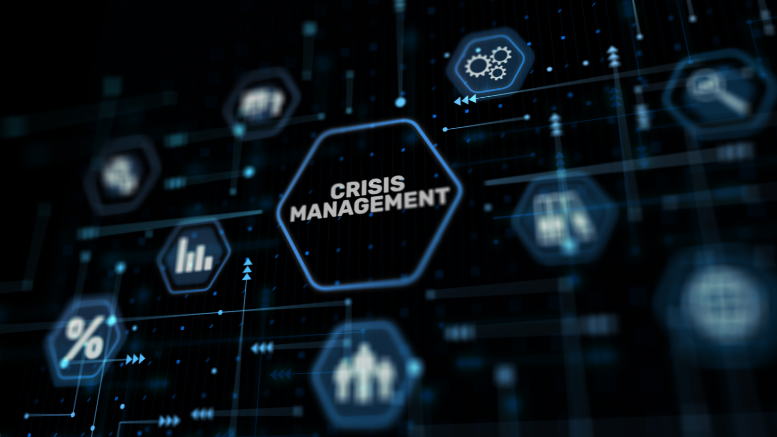
Crisis Management
Find case studies, podcasts, blogs and a handbook exploring the latest crisis management topics
-
Incident Management
Discover case studies, recorded webinars, articles and our Incident Management Field Guide
-
Modelling and Mapping
Resources provide insight into how modelling is used during oil spills & preparedness activities
-
Wildlife
These resources cover a wide variety of topics related to wildlife preparedness and response.
-
Dispersants
These dispersant resources provide insight into the use of dispersants and their application
-
Industry
Our industry resources explore a wide variety of topics of interest to the oil and gas industry
Latest Resources
Redefining Crisis Management Training: The Potential Pitfalls of Over-reliance on Virtual Training
Amid crisis management's evolution, virtual training expands accessibility. But can it fully replicate crisis demands? We explore this critical balance.

The OSRL Podcast: The Response Force Multiplier - Episode 5
In this episode, we join OSRL's Incident and Crisis Management Lead, Dave Rouse, and guests as they reflect on critical crisis management lessons and strategies for navigating uncertainty.

Crisis-Ready Excellence: Delivering preparedness training to a major international oil and gas company.
A major international Oil and Gas company approached us to deliver a training course to their staff to help develop their structure for preparing and responding to emergencies.

Latest Response Resources

The OSRL Podcast : The Response Force Multiplier Trailer
Introducing The Response Force Multiplier: The Ultimate Emergency Planning and Response Podcast that explores all aspects of emergency planning and response.

TPR Seminar Series - Part Twelve: Environmental Impact Assessment
Norman Ramos, Principal Consultant and Trainer, provides an overview of the TPR segment relating to Environmental Impact Assessment.

Next Generation Fuels – the Future of Emergency Response
We explore what challenges alternative fuels must overcome to become viable, safe and trusted replacements for oil
Latest Insights
Redefining Crisis Management Training: The Potential Pitfalls of Over-reliance on Virtual Training
Amid crisis management's evolution, virtual training expands accessibility. But can it fully replicate crisis demands? We explore this critical balance.

Developing Resilience to Climate Change Driven Extreme Weather Events
As climate-driven extreme events increase in frequency, it is crucial for businesses, especially in the oil and gas industries to build resilience through enhanced preparedness.

Navigating the Evolving Landscape of Oil Spill Response
Yearly oil spill risks rise, impacting us all. This article explores challenges, innovation, and vital collaboration in transforming the industry.
